
| A Cherished Way of Life |
| Photos on this page are courtesy of Flickr Creative Commons and: New Orleans Lady, Gail Des Jardin, Belle Isle, msmail, rekha6, jkiel, ciamabue, uscgd8, Ray Devlin, poptoplady, cesarharada |
| The link to this page is: http://www.thepastwhispers.com/Cherished.html Whispers - Home Friday's Journal Old New Orleans |
| LINKS: Louisiana's Wetlands - America's Wetlands: A Photo Set Save Our Coast Voice of the Wetlands Coalition to Restore Coastal Louisiana |

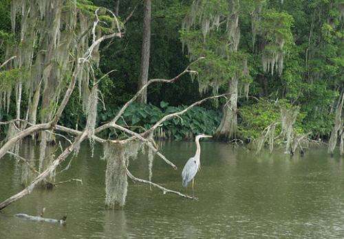
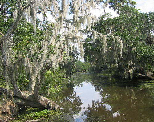
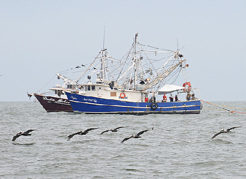
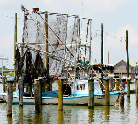
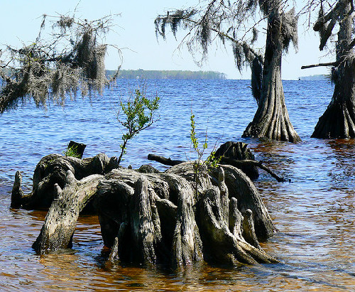
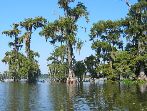
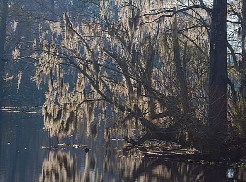
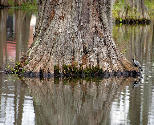
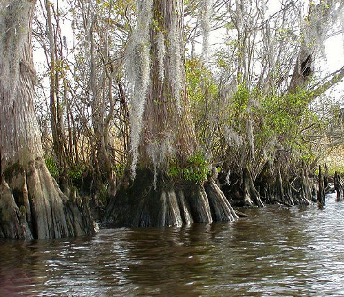
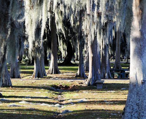
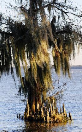
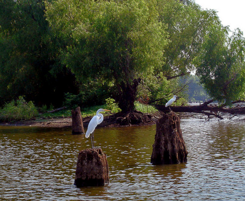
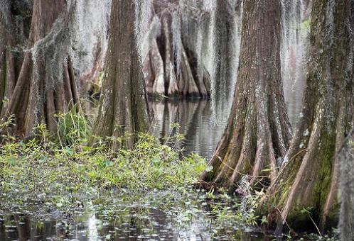
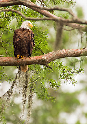
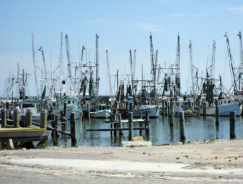
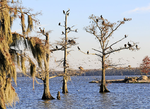
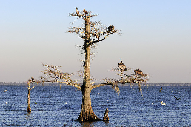
| Inch by inch, mile by mile, coastal Louisiana is disappearing. Thousands of miles of wetlands once protected the southern parishes of Louisiana - including the largest city in the state, New Orleans - from storms blowing in from the Gulf of Mexico. But, even before BP's disastrous oil spill began causing widespread destruction of the fragile marshes, south Louisiana was already losing the equivalent of a football field of land every 45 minutes. One of the main factors in Louisiana's tremendous loss of land is the result of hundreds of weblike shipping channels dug out and continuously dredged by oil companies. (Since 1983, Shell Oil Company, alone, has dredged 8.8 million cubic yards just laying pipeline, causing the loss of 22,624 acres.) These canals, in combination with hundreds of miles of pipelines, have made the marshes susceptible to salt water intrusion. As salt water invades, marshes die and more land is lost. The channels, and now, the additional consequences resulting from the largest oil spill in U.S. history, threaten to destroy the fragile ecosystems of Louisiana's vital wetlands. They, also, threaten to destroy the important oyster, shrimp and fishing industries of the state and the livelihoods those industries provide. These threats place in eminent peril a cherished and centuries-old way of life along the Louisiana coast. The photos on this page were taken before the recent oil spill, at various locations along Louisiana's coast and in her marshes and bayous. The oil did not reach all of these locations, but, sadly, it did reach some of them. -- Nancy |